


EARLY CHARTS & MAPS OF NEW ZEALAND 1542-1851 Fine Printing Limited Edition 1/500 w/ 59 PLATES
EARLY CHARTS OF NEW ZEALAND 1542-1851, by Peter Bromley Maling.
FINE PRINTING, LARGE FORMAT, LIMITED EDITION. This is copy 21 of only 500 copies, as stated in the limitation statement at the bottom of the last page.
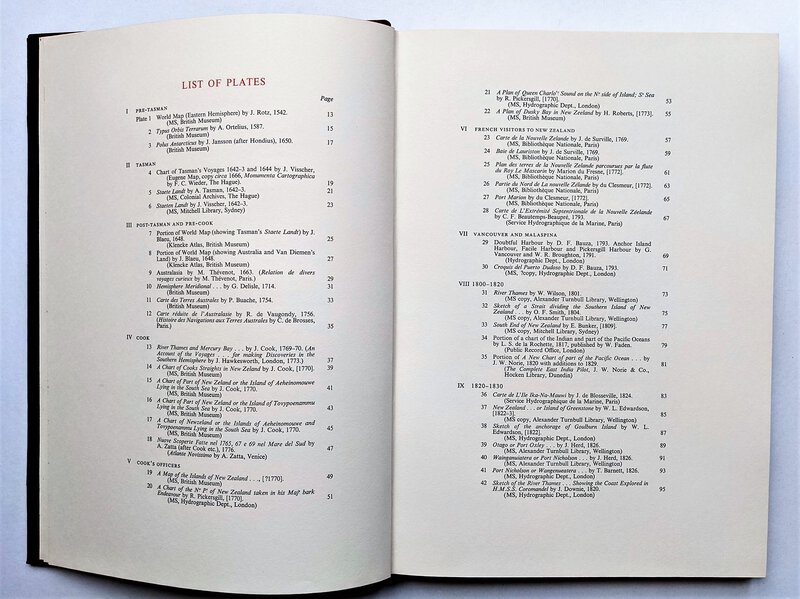
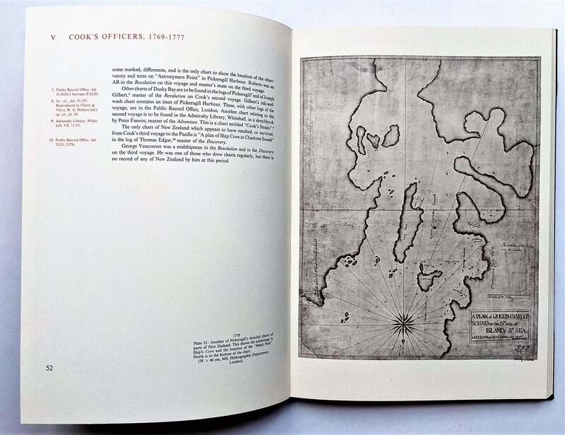
Contains 59 PLATES of MAPS, CHARTS and DIAGRAMS of NEW ZEALAND and the surrounding area (e.g. Antarctica), as seen by explorers from the 16th to 19th century. The maps are amazing.
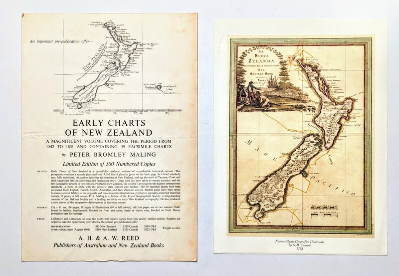
Large Format Book in Slipcase, 11x15.5 inches, 136 pages including the 59 plates of maps. Laid in is the original prospectus, a large single-fold sheet to make 4 pages, and a facsimile 1798 color map of New Zealand.
Published by A. H. and A. W. REED, Wellington, Auckland, Sydney and Melbourne, Australia, 1969.
Nice New Zealand Association. Copy of H. Gary Tonks, with his name and address written in the upper corner of the title page "H.G. Tonks / Mataitai / Wellington / Oct 1969". H. Gary Tonks has written a number of books about New Zealand, Wellington, and the Tonks family. The Tonks were an important part of the early development of Wellington, New Zealand.
Condition:
NEAR FINE book, tight, bright, clean, clear and unmarked. A beautiful copy. In a GOOD slipcase that is scraped at the spine, and has some rubs and light soiling, but is solid and doing its job well. A lovely copy of this rare book and its slipcase.
The laid in Prospectus has been folded horizontally, is foxed at the margins and has coffee cup ring stains on its back panel. The laid-in map has a light stain to its upper left margin. They are not often found with the book.
Only 500 copies of this book were produced. This is a lovely early copy, #21, with a nice association to the Tonks of Wellington, New Zealand.
INTERNATIONAL BUYERS PLEASE NOTE: This book is heavy and will require substantial additional shipping charges. After placing your order you will be notified of the additional charges and be able to accept or reject them before your payment is processed. Or you can contact us ahead of time to find out the shipping charge to your country. Thanks.