- Category = Travel & Exploration
-
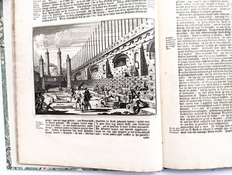
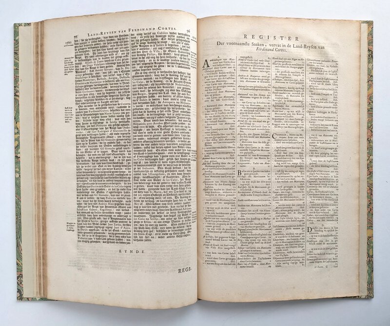
 1707 CONQUISTADOR CORTÉS & the SIEGE OF MEXICO in 1519 w/ NINE ENGRAVED PLATES
More details Price: $500.00
1707 CONQUISTADOR CORTÉS & the SIEGE OF MEXICO in 1519 w/ NINE ENGRAVED PLATES
More details Price: $500.00 -
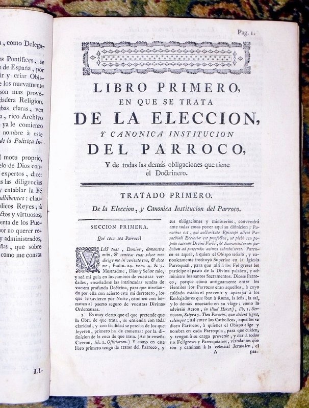
 1771 INDIANS OF ECUADOR - SPANISH CONQUISTADOR PRIEST'S GUIDE for the ADMINISTRATION of NATIVE INDIANS - Obispo de Quito
More details Price: $800.00
1771 INDIANS OF ECUADOR - SPANISH CONQUISTADOR PRIEST'S GUIDE for the ADMINISTRATION of NATIVE INDIANS - Obispo de Quito
More details Price: $800.00 -
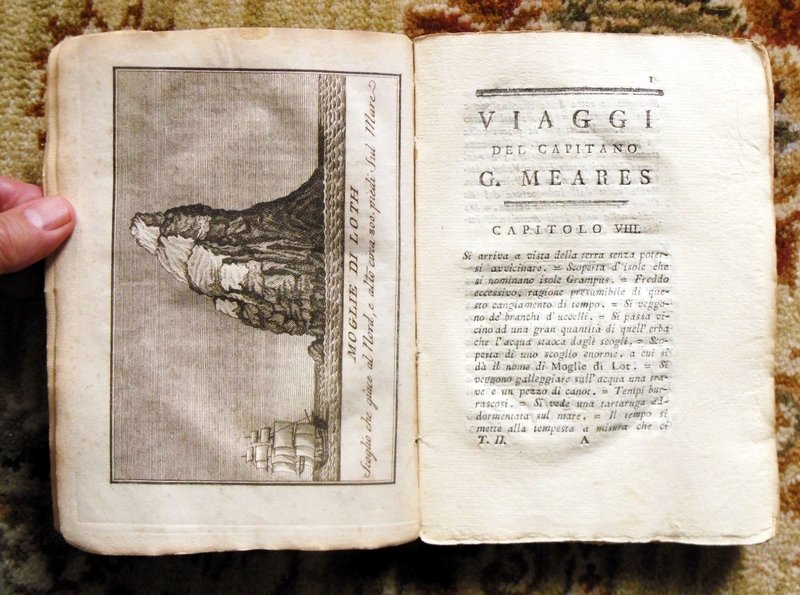
 1796 CAPTAIN JOHN MEARES - TRAVELS FROM CHINA to the NORTHWEST COAST OF AMERICA in 1788 and 1789 - 3 VOLUMES w/ 17 PLATES
More details Price: $1,000.00
1796 CAPTAIN JOHN MEARES - TRAVELS FROM CHINA to the NORTHWEST COAST OF AMERICA in 1788 and 1789 - 3 VOLUMES w/ 17 PLATES
More details Price: $1,000.00 -
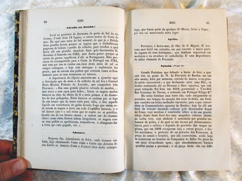
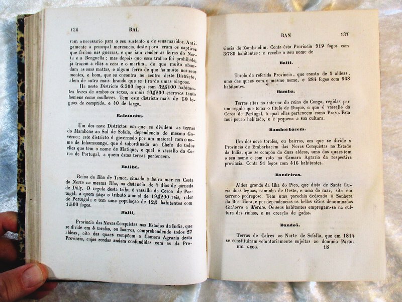
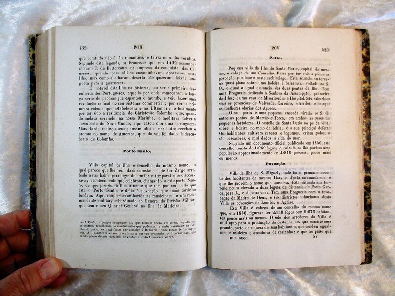
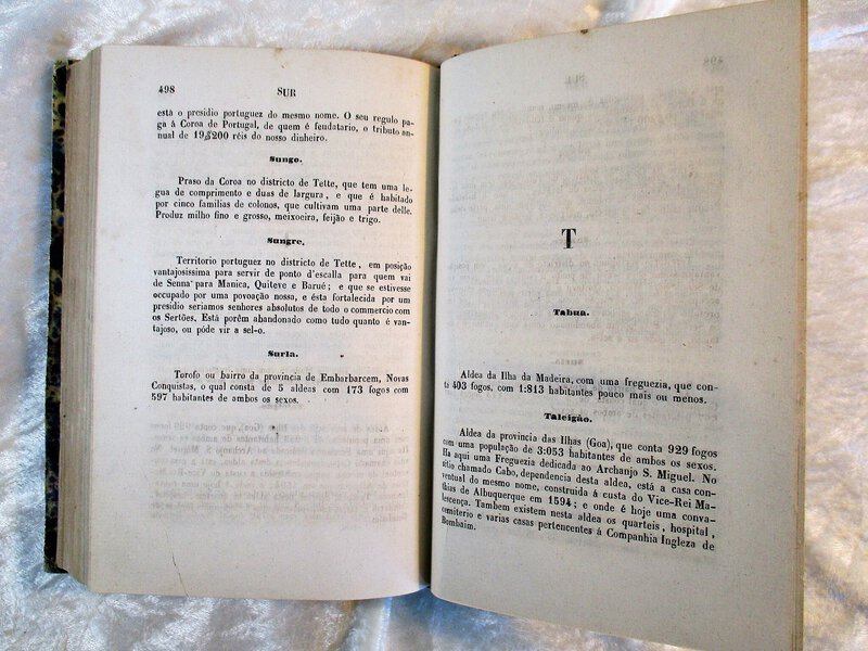
 1850 GEOGRAPHIC DICTIONARY of PORTUGUESE OVERSEAS PROVINCES & ISLANDS / DICCIONARIO GEOGRAPHICO DAS PROVINCIAS E POSSESSOES PORTUGUEZAS NO ULTRAMAR
More details Price: $250.00
1850 GEOGRAPHIC DICTIONARY of PORTUGUESE OVERSEAS PROVINCES & ISLANDS / DICCIONARIO GEOGRAPHICO DAS PROVINCIAS E POSSESSOES PORTUGUEZAS NO ULTRAMAR
More details Price: $250.00 -
 1891 Photograph Album EARLY CASCADE MOUNTAIN EXPEDITIONS 26 Original Albumen Photos Mt. RAINER & Mt. BAKER
More details Price: $22,500.00
1891 Photograph Album EARLY CASCADE MOUNTAIN EXPEDITIONS 26 Original Albumen Photos Mt. RAINER & Mt. BAKER
More details Price: $22,500.00 -
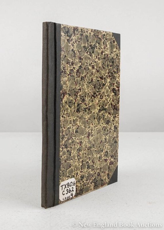
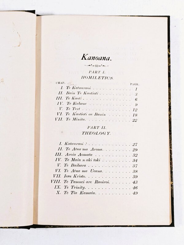
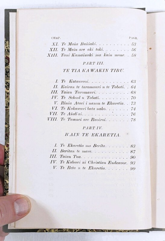
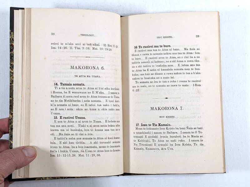
 1903 GILBERT ISLAND - GILBERTESE LANGUAGE GUIDE for MINISTERS - GILBERTESE TEXT- Printed in Kosrae, Micronesia
More details Price: $350.00
1903 GILBERT ISLAND - GILBERTESE LANGUAGE GUIDE for MINISTERS - GILBERTESE TEXT- Printed in Kosrae, Micronesia
More details Price: $350.00 -
 1913 FRENCH ANTARCTIC EXPEDITION *SIGNED & INSCRIBED* CETACEANS WHALES 15 PLATES Antarctica
More details Price: $1,300.00
1913 FRENCH ANTARCTIC EXPEDITION *SIGNED & INSCRIBED* CETACEANS WHALES 15 PLATES Antarctica
More details Price: $1,300.00 -
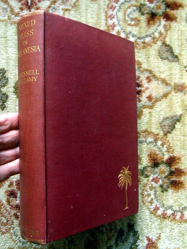
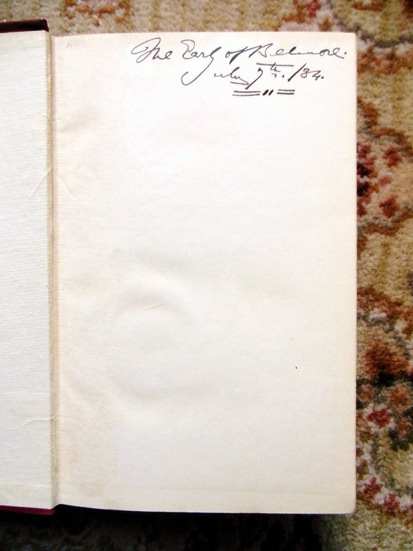
 1934 R. Reynell Bellamy MIXED BLISS IN MELANESIA w/ PHOTOS & MAP First Ed. RARE
More details Price: $200.00
1934 R. Reynell Bellamy MIXED BLISS IN MELANESIA w/ PHOTOS & MAP First Ed. RARE
More details Price: $200.00 -
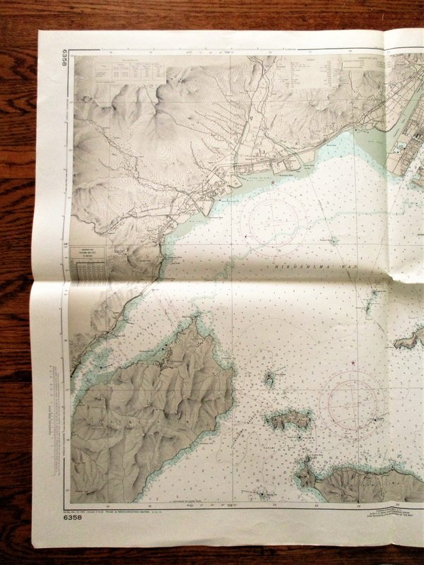
 1972 Soundings Map APPROACHES TO HIROSHIMA Japan Naikai Inland Sea Hiroshima Wan 30x42"
SOUNDINGS MAP in Fathoms. JAPAN NAIKAI (Inland Sea) HIROSHIMA WAN - APPROACHES TO HIROSHIMA. From Japanese surveys to 1947, with additions from Japanese Charts to 1963. 30x42 inches. Published by the U.S. Naval Oceanographic Office under the Authority of the Secretary of the Navy, Washington D.C. Third Edition 1970, with an added ink stamp at the bottom noting changes through 1972. "Reproduction of Chinese Chart No. 341A, edition of Mar. 1969, with minor modifications in accordance with agreement of 1968 between the Republic of China Naval Hydrographic Office and the U.S. Naval Oceanographic Office." GOOD condition. Folded, just lightly used. The map number 97269 is written on the blank backside. Will be shipped rolled in a sturdy mailing tube.
More details Price: $85.00 -
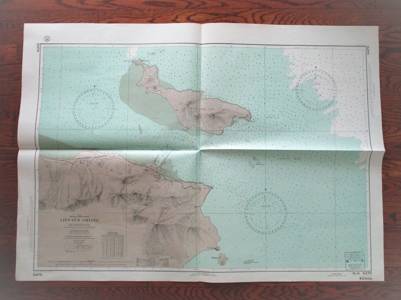
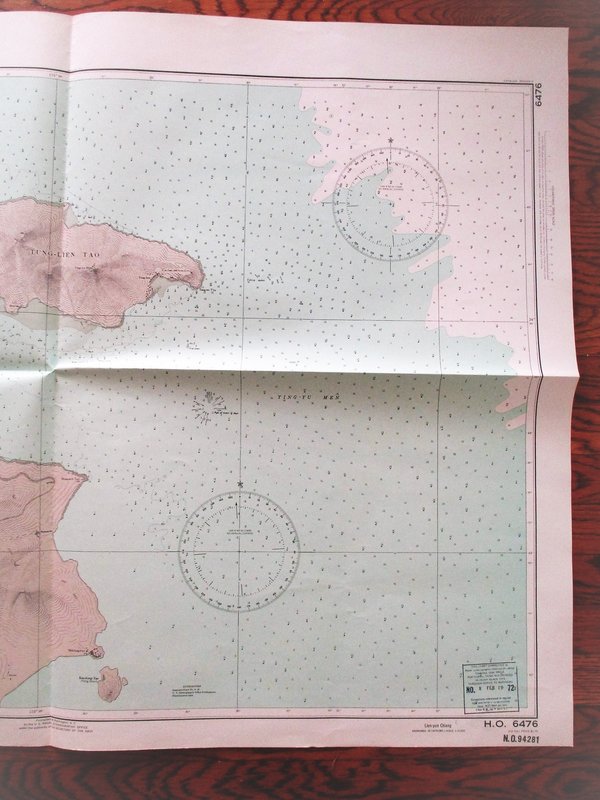
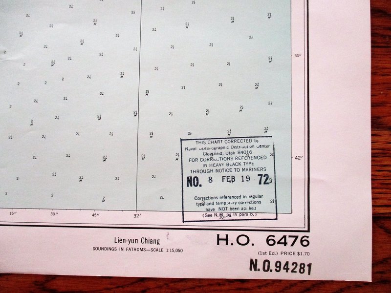
 1972 Soundings Map LIEN-YUN CHIANG China East Coast 30x42"
SOUNDINGS MAP in Fathoms. China East Coast LIEN-YUN CHIANG. From a Japanese survey in 1938. 30x42 inches. Published by the U.S. Naval Oceanographic Office under the Authority of the Secretary of the Navy, Washington D.C. Revised Edition 1968, with an added ink stamp at the bottom noting changes through Feb. 1972. GOOD condition. Folded, just lightly used. The map number 94281 is written on the blank backside. Will be shipped rolled in a sturdy mailing tube.
More details Price: $85.00 -
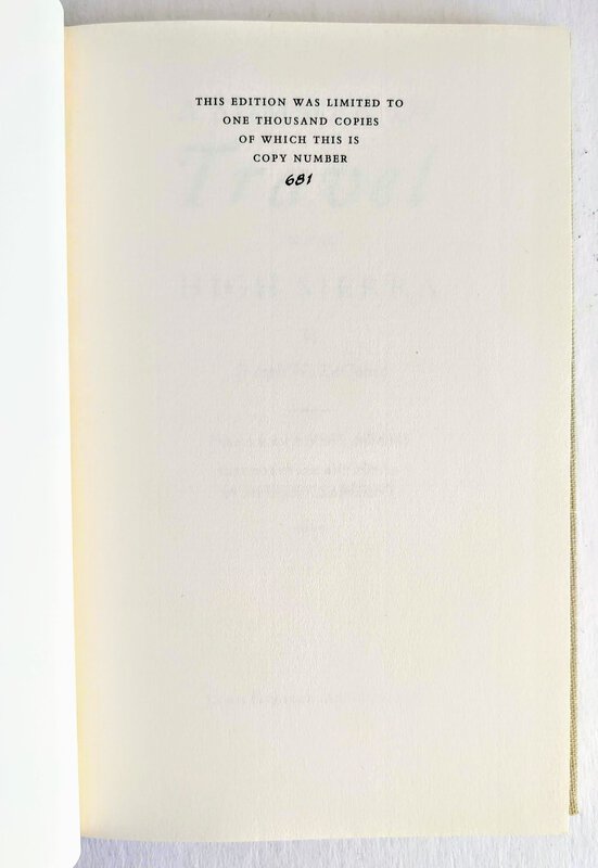
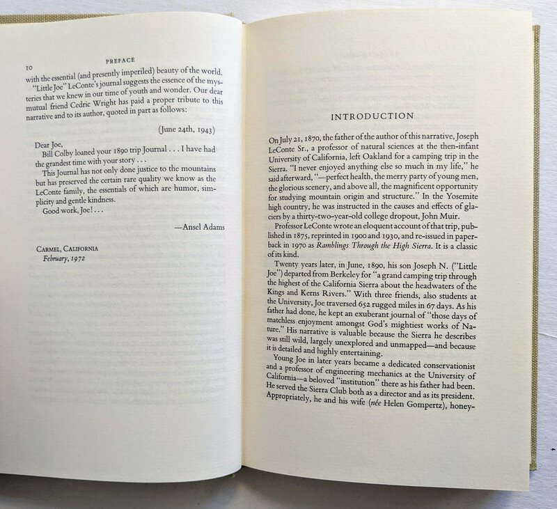
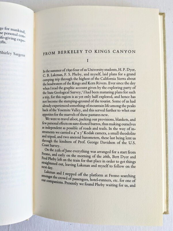
 A SUMMER OF TRAVEL IN THE HIGH SIERRA, Joseph N. LeConte, Ansel Adams Limited Edtion #681/1000
A SUMMER OF TRAVEL IN THE HIGH SIERRA, by Joseph N. LeConte. Preface by Ansel Adams. Introduction and Notes by Shirley Sargent.
Published by Lewis Osborne, Ashland, Oregon, 1972. Limited to only 1000 copies, this being copy 681, as stated on the Limitation Page.
Hardcover book in dustjacket, cloth covered boards, gilt titles on the front cover and spine, 5.5x9 inches, 144 pages.
Condition: FINE book in a FINE dustjacket. Looks and feels as new. (The dj was trimmed 1/4 inch too short, as issued.)
More details Price: $200.00 -
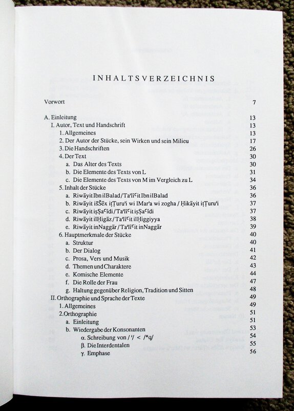
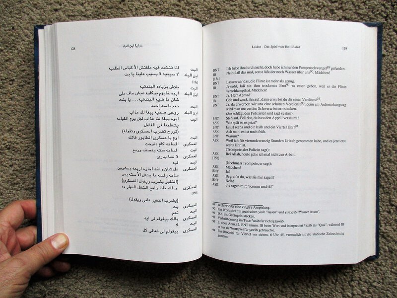
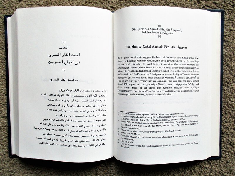
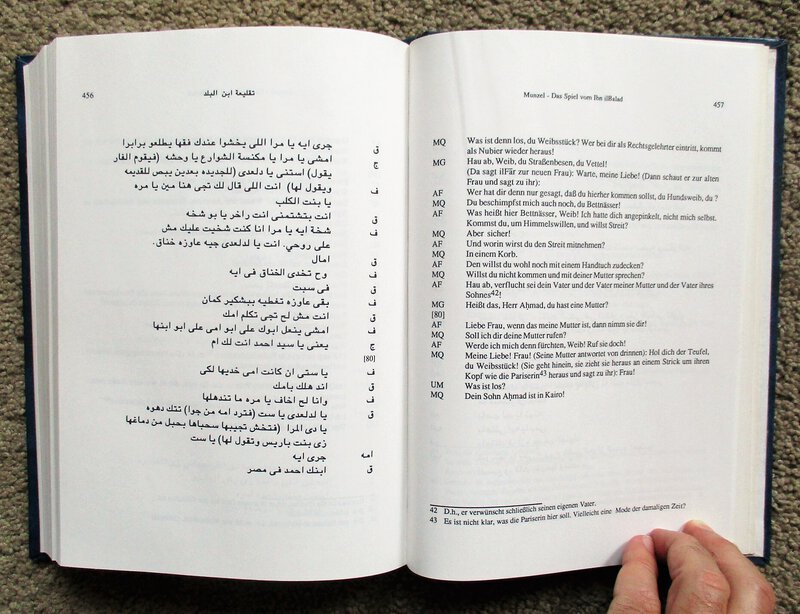
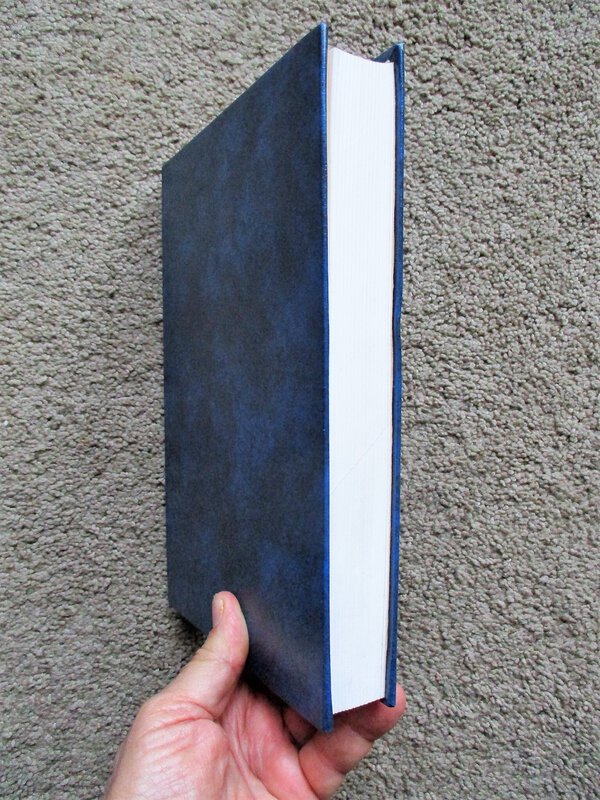
 ARAB FOLK THEATER IN CAIRO IN 1909 Arabisches Volkstheater in Kairo im Jahre 1909 ARABIC & GERMAN TEXT
Arabisches Volkstheater in Kairo im Jahre 1909 : Ahmad ilFar und seine Schwänke / herausgegeben, übersetzt und eingeführt von Manfred Woidich und Jacob M. Landau.
(Arab Folk Theater in Cairo in 1909: Ahmad ilFar and his Cohorts / Compiled, Translated and Introduced by Manfred Woidich and Jacob M. Landau.)
Text in GERMAN and ARABIC on facing pages (no English).
Published in Beirut, Lebanon, for Franz Steiner Verlag, Stuttgart, Germany, 1993. Volume 38 in the series Bibliotheca Islamica.
Rebound in sturdy hardcovers with the original wrappers bound in, 6.5x9.5 inches, 489 pages.
VERY GOOD condition: There is the number "16" written on the front free endpaper, otherwise tight, bright, clean, clear and unmarked. A solid, presentable copy.
More details Price: $80.00 -
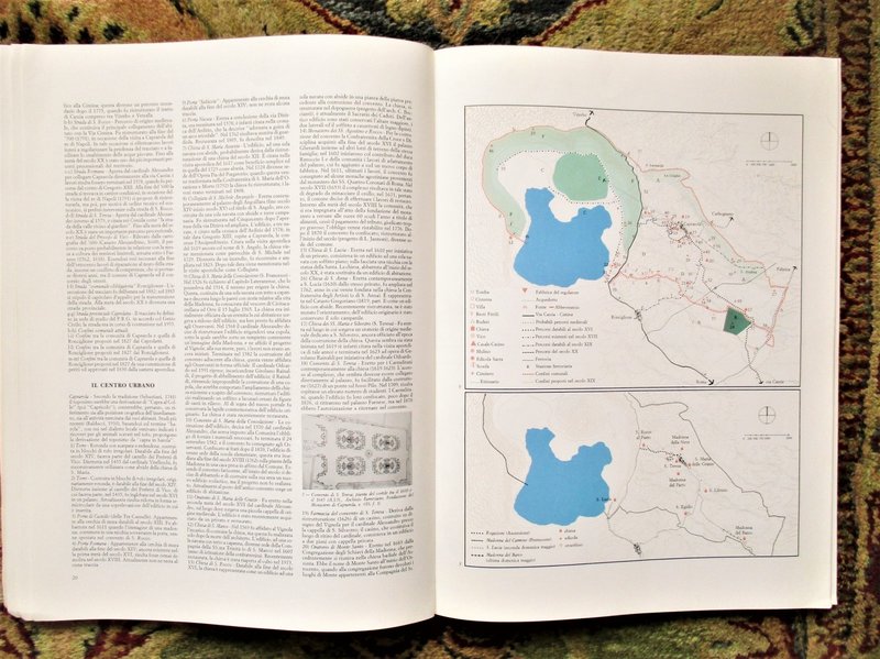
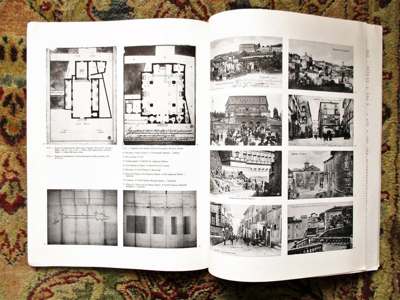
 CAPRAROLA, ITALY Large Format Illustrated HISTORICAL ATLAS Published ROME 1986
More details Price: $45.00
CAPRAROLA, ITALY Large Format Illustrated HISTORICAL ATLAS Published ROME 1986
More details Price: $45.00 -
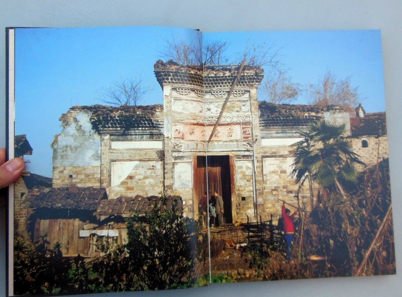
 CHINESE VERNACULAR ARCHITECTURE of LIUKENG VILLAGE / LIUKENGCUN Richly Illustrated HC/DJ 2001
More details Price: $75.00
CHINESE VERNACULAR ARCHITECTURE of LIUKENG VILLAGE / LIUKENGCUN Richly Illustrated HC/DJ 2001
More details Price: $75.00 -
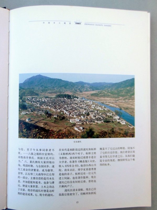
 CHINESE VERNACULAR ARCHITECTURE ZHUGE CUN VILLAGE / Zhongguo Xiangtu Jianzhu: Zhugecun RICHLY ILLUSTRATED HC/DJ 1999
More details Price: $75.00
CHINESE VERNACULAR ARCHITECTURE ZHUGE CUN VILLAGE / Zhongguo Xiangtu Jianzhu: Zhugecun RICHLY ILLUSTRATED HC/DJ 1999
More details Price: $75.00 -
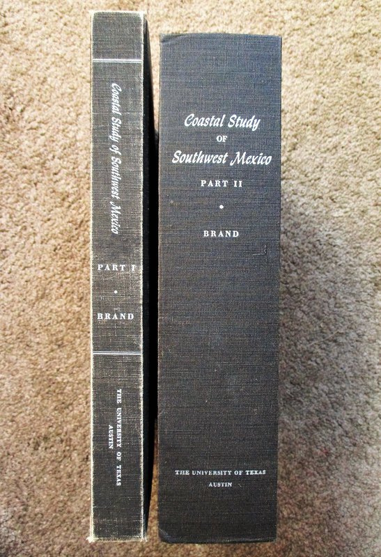
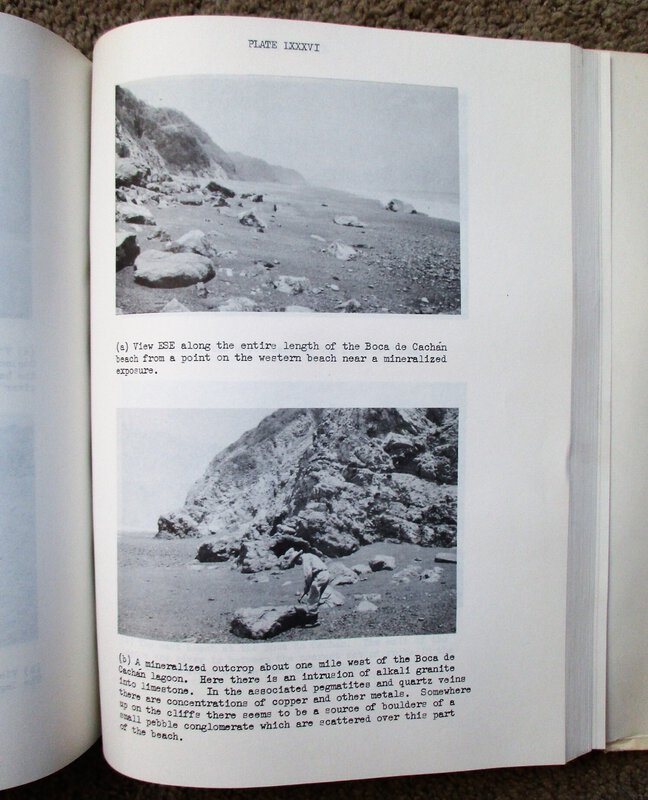
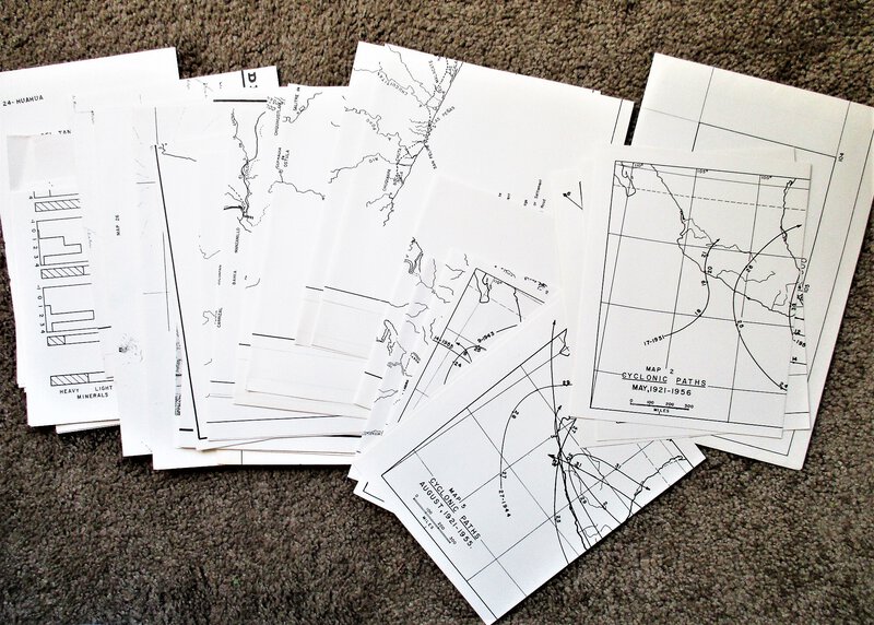
 COASTAL STUDY of SOUTHWEST MEXICO - TWO VOLUMES with 184 Plates + 31 Folding Maps
More details Price: $250.00
COASTAL STUDY of SOUTHWEST MEXICO - TWO VOLUMES with 184 Plates + 31 Folding Maps
More details Price: $250.00 -
 DICIONÁRIO TOPOGRÁFICO, HISTÓRICO, DESCRITIVO da COMARCA do ALTO-AMAZONAS / DICTIONARY of the UPPER AMAZON by BRAZIL NAVY CAPTAIN Facsimile of 1852 Edition
More details Price: $60.00
DICIONÁRIO TOPOGRÁFICO, HISTÓRICO, DESCRITIVO da COMARCA do ALTO-AMAZONAS / DICTIONARY of the UPPER AMAZON by BRAZIL NAVY CAPTAIN Facsimile of 1852 Edition
More details Price: $60.00 -
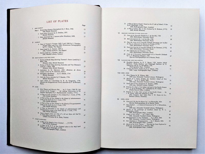
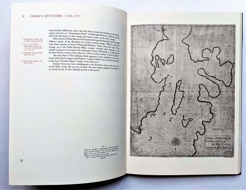
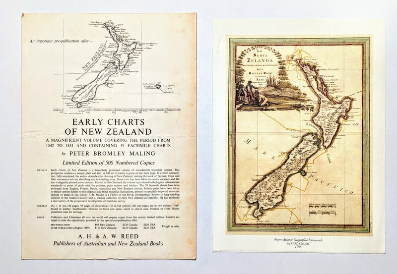
 EARLY CHARTS & MAPS OF NEW ZEALAND 1542-1851 Fine Printing Limited Edition 1/500 w/ 59 PLATES
More details Price: $900.00
EARLY CHARTS & MAPS OF NEW ZEALAND 1542-1851 Fine Printing Limited Edition 1/500 w/ 59 PLATES
More details Price: $900.00 -
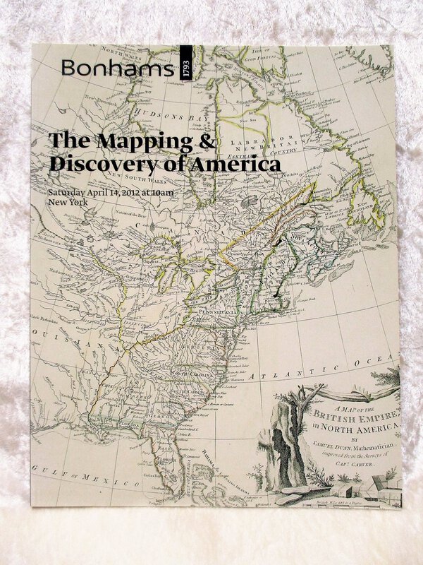
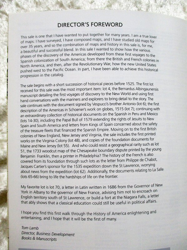
 MAPPING & DISCOVERY OF AMERICA Bonhams Auction Catalog ILLUSTRATED
THE MAPPING & DISCOVERY OF AMERICA. Bonhams Auction Catalog for the auction that took place in New York on April 14, 2012. Bonhams auction 19631.
Softcover Auction Catalog, 8x10.5 inches, 78 pages. 94 lots are fully described and cataloged. Illustrated throughout with color photographs of items being offered.
An important auction of documents related to the discovery and early mapping of America. Includes the item "Terra Firma Nulli Antecessoribus Cognita. [Columbus, Christopher, Vespucci, Amerigo And Others.] Bernardus Albingaunensis" that sold for $326,500.
FINE condition, looks and feels unused.
More details Price: $50.00 -
 Original 1965 FLY PAN AM TO SAN FRANCISCO Vintage Travel POSTER Iconic Midcentury View KRONFELD
More details Price: $500.00
Original 1965 FLY PAN AM TO SAN FRANCISCO Vintage Travel POSTER Iconic Midcentury View KRONFELD
More details Price: $500.00